
Survey I in Civil Engineering
Survey I is one of the foundational courses in civil engineering that introduces students to the principles and practices of land surveying. Surveying is the science and art of determining the relative positions of points on, above, or below the surface of the earth. It plays a critical role in planning, designing, and constructing engineering projects such as roads, bridges, buildings, dams, railways, and drainage systems. The course equips students with both theoretical knowledge and practical field skills required for accurate measurement and mapping.
The primary objective of Survey I is to teach students how to measure distances, angles, elevations, and positions using different surveying instruments and techniques. Students learn how to collect, analyze, and present field data in a clear and organized manner. Accuracy and precision are emphasized because even small errors in surveying can lead to major construction problems and financial losses in engineering projects.
One of the major topics covered in Survey I is chain surveying. This is the simplest method of surveying where only linear measurements are taken using chains or tapes. Students learn how to measure horizontal distances, prepare field notes, and draw plans based on collected measurements. Chain surveying is commonly used for small and relatively flat areas where high precision is not required.
Another important topic is compass surveying, which involves the measurement of angles using a compass. In this method, bearings are taken to determine the direction of survey lines. Students are introduced to concepts such as magnetic north, true north, whole circle bearings, and reduced bearings. They also learn about errors caused by magnetic attraction and how to correct them.
Levelling is another key component of Survey I. Levelling is used to determine the elevation of points relative to a reference point known as a benchmark. This technique is essential in construction projects where accurate height measurements are required, such as road construction, drainage design, and building foundations. Students learn how to use levelling instruments like dumpy levels and automatic levels, as well as how to calculate reduced levels and gradients.
The course also introduces plane table surveying, a graphical method of surveying in which field observations and plotting are done simultaneously. This method helps students understand the relationship between fieldwork and map preparation. Additionally, students are taught traversing, which involves establishing a series of connected lines whose lengths and directions are measured. Traversing is widely used in route surveys for highways, pipelines, and railways.
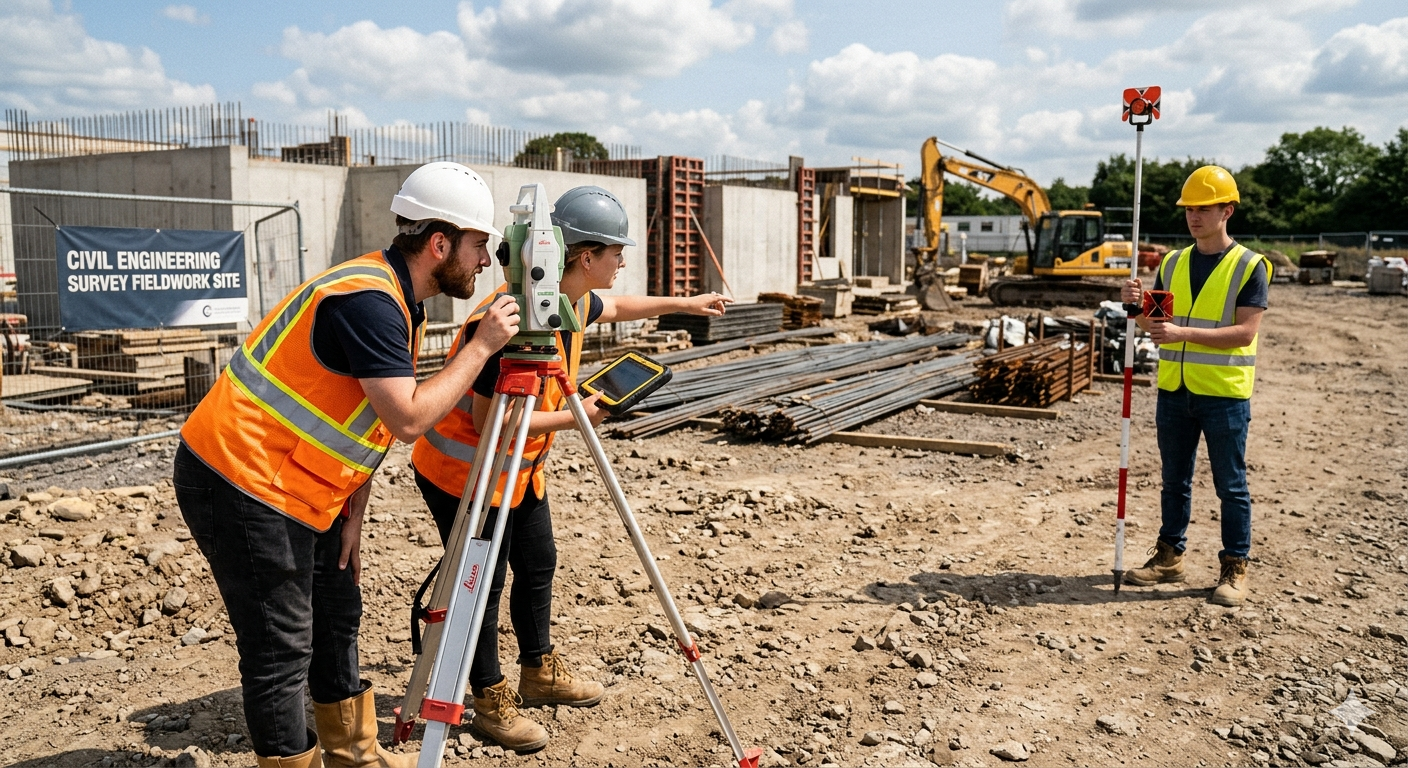
Practical fieldwork forms a major part of Survey I. Students are trained to handle and operate surveying instruments such as measuring tapes, ranging rods, compasses, levels, tripods, and plane tables. Through field exercises, they gain hands-on experience in taking measurements, recording observations, and solving real surveying problems. Teamwork, communication, and discipline are also developed during practical sessions because surveying often requires cooperation among field personnel.
Survey I also emphasizes the importance of safety and ethics in engineering practice. Surveyors must ensure that measurements are accurate, reliable, and conducted responsibly. Students are taught to respect property boundaries, maintain professional integrity, and follow safety procedures while working in the field.
The knowledge and skills gained in Survey I are essential for advanced civil engineering studies and professional practice. Surveying data is used in the preparation of topographic maps, site layouts, contour maps, and construction plans. Modern technologies such as total stations, Global Positioning Systems (GPS), and Geographic Information Systems (GIS) are built upon the basic principles taught in Survey I.
In conclusion, Survey I is a fundamental course in civil engineering that provides students with the essential skills needed for land measurement and mapping. It combines theoretical concepts with practical applications to prepare future engineers for accurate planning, design, and construction of infrastructure projects. By mastering surveying techniques, civil engineering students develop a strong foundation for successful engineering practice and contribute to safe and efficient development projects.
- Teacher: Brian Chuma